Tharandter Wald
At the heart of the GEOPARK lies the Tharandter Wald (Tharandt Forest). It is about 60 square kilometers in size and home to the geographical center of Saxony.
Bernhard von Cotta, a famous geologist and mining expert, recognized its geological significance in the 18th century already. Having served the Prince Elector as forest district and hunting ground in the past, the Tharandter Wald, a purely coniferous forest in former times, today is a popular recreational area. Numerous hiking trails and scenic spots invite visitors to explore and relax while the mildly stimulating climate unfolds its soothing effect.
Ost-Erzgebirge
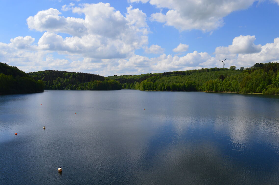
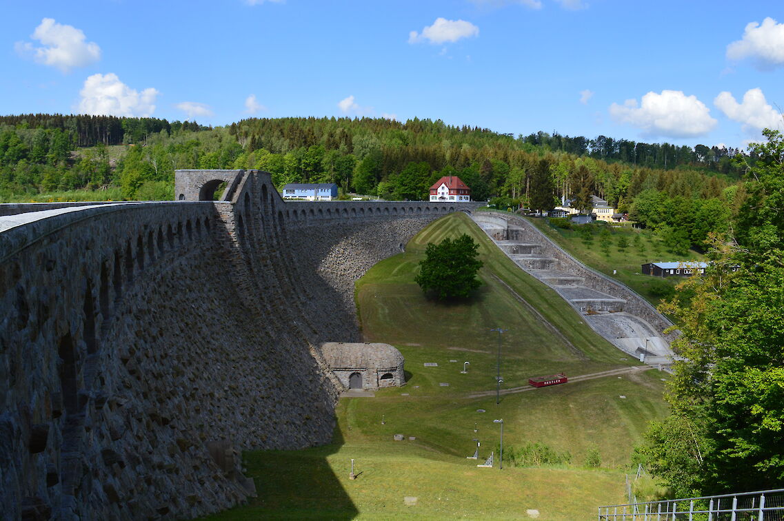
Towards the South of the GEOPARK Sachsens Mitte the shape of the landscape becomes rougher and more distinctive. Rivers like the Rote and Wilde Weißeritz as well as the Bobritzsch gush from the ore mountains (Erzgebirge) cutting deep valleys from the stone – at times torrentially, sometimes quietly gurgling along. This is how the V-shaped “Rabenauer Grund” valley came into existence. Alongside the “Rote Weißeritz” river runs the narrow-gauge railway “Weißerritzbahn”. Near Klingenberg there is the “Wilde Weißeritz” dam, its reservoir lake having earned the title “water glass of Dresden”. Via an educational trail on potable water one can reach the Lehnmühle dam from here.
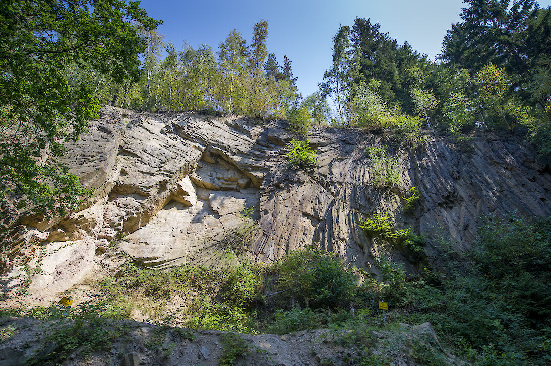
Nossen-Wilsdruffer Schiefergebirge
At the Northern rim of the Tharandter Wald the Eastern Erzgebirge ends with a terrace vis-à-vis the Nossen-Wilsdruffer Schiefergebirge (Slate Mountains). The area is mostly flat.
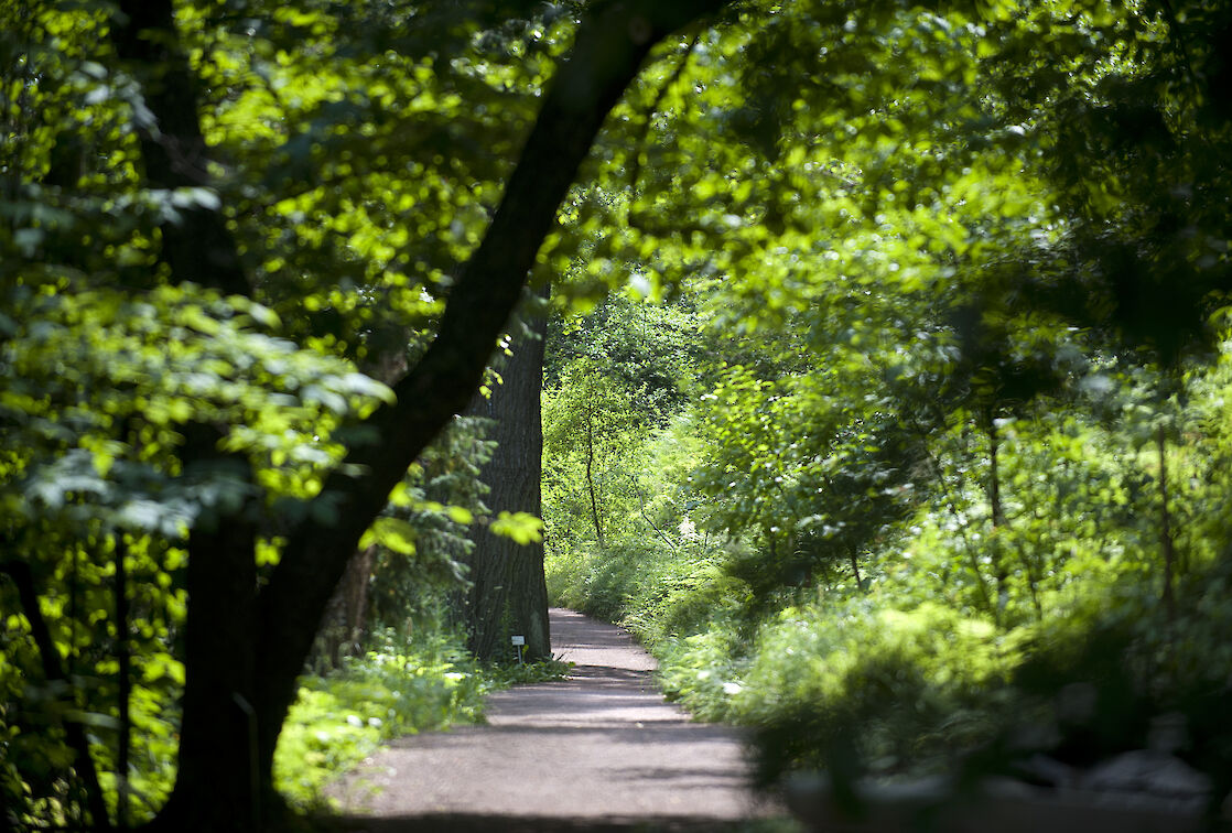
The romantic Triebisch River Valley cuts through the landscape here. Alongside the river one enjoys untouched natural paths and is able to relax.